Gardening
What Gardening Zone Am I In By Zip Code? USDA Map & Lookup Guide
The Quick Answer: Finding Your USDA Hardiness Zone by Zip Code
If you are asking, "what gardening zone am I in by zip code," the most accurate and immediate method is to use the official USDA Agricultural Research Service (ARS) Interactive Plant Hardiness Zone Map. Simply enter your 5-digit zip code into the search bar on the USDA portal, and the database will return your exact zone and subzone (e.g., 6b or 7a).
This data is based on the extreme minimum winter temperatures recorded over a 30-year period. The current map utilizes advanced PRISM (Parameter-elevation Regressions on Independent Slopes Model) climate mapping, which provides a highly granular, zip-code-level resolution that older, generalized county maps lacked.
Pro Tip: Never rely on third-party gardening apps for your primary zone data. Many apps use outdated 2012 map data. Always cross-reference with the live USDA ARS database, which integrates the most recent 30-year temperature averages.
Why Zip Code Lookups Aren't Always Perfect: The Microclimate Factor
While a zip code lookup provides an excellent baseline, it assumes your garden is an average, open, flat field. In reality, your specific property has microclimates that can shift your effective growing zone by a full half-zone or even a full zone (10°F to 15°F difference).
Urban Heat Islands vs. Rural Cold Pockets
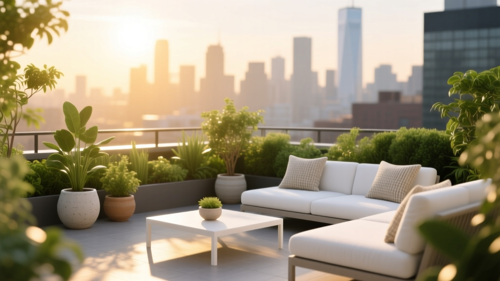
If your zip code covers a dense downtown area and sprawling suburbs, the USDA map will average the data. However, according to the Environmental Protection Agency (EPA), urban heat islands can make city centers 1°F to 7°F warmer than surrounding rural areas. If you garden on a rooftop in a downtown zip code, your effective winter minimums might mimic a zone half a step warmer than the official lookup. Conversely, if you live in a rural valley within that same zip code, cold air drainage can create "frost pockets" that drop temperatures 5°F lower than the zone average.
Elevation and Topography Shifts
In mountainous or hilly regions, a single zip code can span thousands of feet in elevation. Temperature drops roughly 3.5°F for every 1,000 feet of elevation gain. If your zip code lookup says Zone 6a, but your house sits on a ridge 800 feet above the town center, you are likely gardening in Zone 5b.
Understanding the Zone Shift: What the Current Data Means for Your Garden
The most recent comprehensive update to the USDA map shifted approximately half of the United States into a warmer 5-degree Fahrenheit subzone. This shift is critical for perennial selection and overwintering strategies.
| USDA Zone | Extreme Min Temp (°F) | Example Shift Impact | Perennial Strategy Adjustment |
|---|---|---|---|
| Zone 5b | -15 to -10 | Previously 5a; milder winters allow for expanded bulb varieties. | Can now overwinter marginally hardy garlic varieties without heavy straw mulch. |
| Zone 6b | -5 to 0 | Shifted from 6a; fig trees and rosemary have higher survival rates. | Plant creeping fig (Ficus pumila) on south-facing brick walls with minimal risk of dieback. |
| Zone 7b | 5 to 10 | Shifted from 7a; camellias and windmill palms thrive without wraps. | Reduce winter mulching depth by 2 inches to prevent crown rot in wetter, warmer winters. |
| Zone 8b | 15 to 20 | Shifted from 8a; tropicals like bougainvillea can survive mild snaps. | Transition from heavy frost blankets to lightweight row covers for occasional cold fronts. |
The "One Zone Colder" Safety Margin Rule
When buying bare-root perennials, fruit trees, or expensive shrubs, do not buy plants rated exactly for your zip code's zone. Always apply the One Zone Colder Rule.
"If your zip code places you in Zone 6b, purchase perennials rated hardy to Zone 5b. The USDA map represents 30-year averages, but a single polar vortex event can drop temperatures 15 degrees below the average minimum for a few hours. That one anomalous night will kill a Zone 6b plant, but a Zone 5b plant will survive."
Hardiness Zones vs. Frost Dates: The Missing Half of the Equation
A common mistake gardeners make is using their zip code hardiness zone to determine when to plant spring vegetables. Hardiness zones only tell you about winter survival, not spring planting times.
For example, Seattle, WA (Zone 8b) and Austin, TX (Zone 8b) share the exact same USDA hardiness zone. However, their spring frost dates are radically different. Seattle's last spring frost might occur in late April, while Austin's last frost is typically in early March. To get your exact planting calendar, you must pair your zip code zone lookup with a local frost date calculator based on NOAA historical data.
Soil Temperature: The Ultimate Planting Trigger
Rather than relying purely on calendar dates derived from your zone, use a digital soil thermometer.
- Cool-season crops (peas, spinach, radishes): Plant when soil consistently reads 45°F to 50°F at a 2-inch depth.
- Warm-season crops (tomatoes, peppers, basil): Wait until the soil reaches a minimum of 65°F at a 4-inch depth, regardless of what the air temperature or zone calendar suggests.
USDA Zones vs. Sunset Climate Zones: When Zip Codes Fall Short
If you live in the Western United States, the USDA zip code lookup is only half the story. The USDA system ignores summer highs, humidity, rainfall patterns, and wind. A gardener in arid, scorching Phoenix, AZ (USDA Zone 9b) and a gardener in humid, mild Miami, FL (USDA Zone 10b) face entirely different summer stressors.
For western gardeners, cross-reference your USDA zip code with the Sunset Climate Zone system. Sunset zones divide the West into 24 distinct micro-regions that factor in summer heat spikes and monsoon patterns. If your USDA zone says you can grow a specific hydrangea, but your Sunset zone indicates extreme summer aridity, the plant will likely scorch and fail without heavy shade cloth and drip irrigation.
Common Zip Code Lookup Mistakes to Avoid
Warning: Avoid these critical errors when determining your planting parameters:
- Using the 1990 Map: Some older gardening books and legacy websites still reference the 1990 USDA map. The climate has shifted significantly; relying on this will result in buying plants that are no longer cold-hardy enough for your current winters.
- Ignoring the 'a' and 'b' Subzones: The difference between Zone 7a (0°F to 5°F) and Zone 7b (5°F to 10°F) is 5 degrees. That 5-degree buffer is often the difference between a dormant perennial waking up in spring or suffering total root death.
- Assuming Zones Apply to Annuals: USDA zones are strictly for perennial overwintering. If you are growing zinnias, marigolds, or tomatoes as annuals that you pull out before winter, your hardiness zone is irrelevant to their success.
Frequently Asked Questions
Can my gardening zone change from year to year?
No. The USDA updates the official map roughly every 10 to 15 years based on 30-year rolling averages. While an individual winter might be unusually harsh or mild, your official zip code zone remains static until the next comprehensive PRISM data update is published by the ARS.
What if my zip code spans multiple zones?
Large rural zip codes often cross zone boundaries. In this case, look at the interactive map's color coding rather than just the text output. Zoom in on the map to locate your specific street. If you are near a color boundary, always assume you are in the colder of the two zones for perennial purchasing safety.
Does my zone tell me when my first fall frost will happen?
No. The zone only dictates the extreme minimum winter temperature. First fall frost dates are dictated by your local topography, proximity to large bodies of water, and regional autumn weather patterns. Always use a localized frost-date tool alongside your zone lookup.