
Home & Garden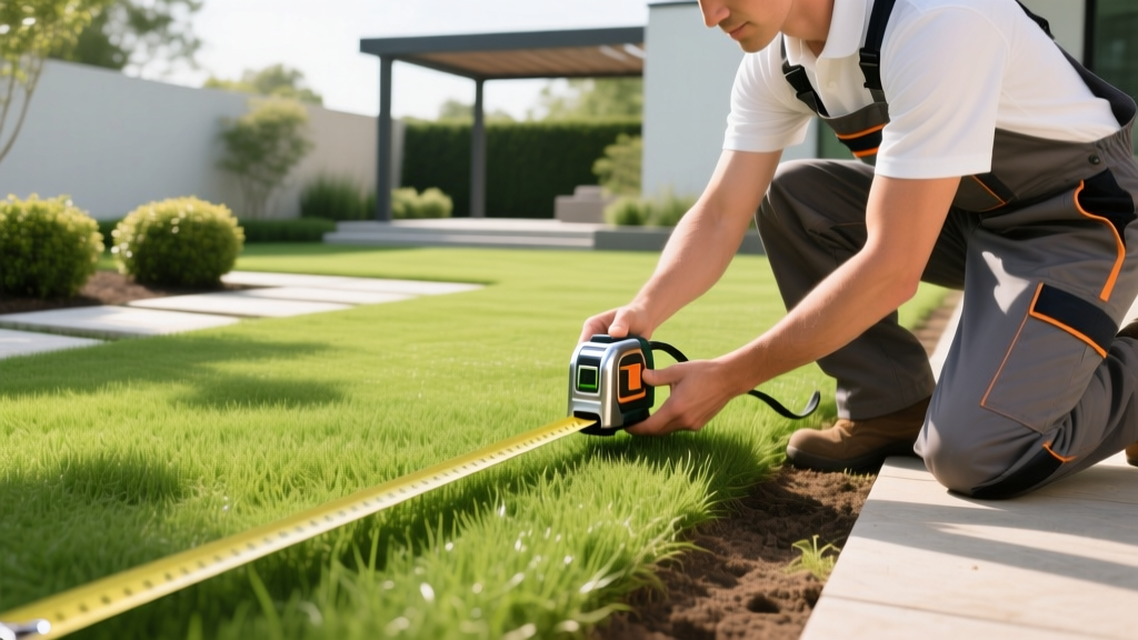
Fixing Lawn Area Errors: Choosing the Right Yard Measurement Tool
The Hidden Costs of Yard Miscalculations
Ordering sod, bulk mulch, topsoil, or fertilizer requires precise square footage calculations. Overestimating your lawn area results in wasted capital and unused materials degrading in your driveway. Underestimating leads to project delays, mismatched sod batches, and uneven fertilizer application rates that can burn your turf. According to the University of Minnesota Turfgrass Science program, applying fertilizer based on guessed square footage is a leading cause of residential turf damage and nutrient runoff.
The root cause of these expensive errors is rarely bad math; it is the use of the wrong yard measurement tool for the specific terrain. Diagnosing why your measurements are failing is the first step toward selecting the correct equipment for your landscape's unique topography.
Diagnosing the 3 Most Common Measurement Errors
Before purchasing new equipment, identify which of these three common diagnostic failures is affecting your current calculations.
Error 1: The "Pacing" Method and Human Variance
Walking the perimeter and multiplying by an assumed stride length (usually 2.5 feet) is highly unreliable. Fatigue, changes in ground cover, and slight inclines alter human stride length by up to 15%. On a 5,000-square-foot lawn, a 10% stride variance results in a 500-square-foot miscalculation—enough to over-order two full pallets of sod.
Error 2: Tape Measure Sag and Slope Distortion
Using a standard 100-foot steel tape measure on uneven ground introduces two errors. First, tape sag over long distances artificially increases your reading. Second, measuring along the surface of a slope measures the hypotenuse, not the horizontal plane. On a 10-degree slope, measuring 100 feet along the ground yields a true horizontal distance of only 98.5 feet. This 1.5% error compounds across large properties.
Error 3: Treating Irregular Boundaries as Rectangles
Most suburban lots feature curved garden beds, angled property lines, and setback easements. Multiplying the longest width by the longest length of an irregular lot inflates the square footage by 10% to 25%. This violates EPA WaterSense landscaping guidelines, which emphasize precise area calculations to optimize irrigation zones and prevent water waste.
Prescribing the Right Yard Measurement Tool
Match your terrain's specific diagnostic profile to the correct tool category.
Scenario A: Flat, Rectangular Boundaries
The Solution: Digital Laser Distance Measures (e.g., Bosch GLM 50 C or Leica DISTO D110).
Cost Range: $90 to $150.
Why it works: Lasers provide millimeter accuracy up to 165 feet. They are ideal for hardscapes, flat rectangular lawns, and calculating the square footage of driveways or patios.
Critical Field Warning: Standard laser measures struggle in direct sunlight beyond 30 feet because the red diode beam washes out. To use a laser yard measurement tool outdoors at noon, you must use a reflective laser target card (red or green, depending on your beam color) or take your measurements at dusk. For distances over 100 feet in full sun, abandon the laser and switch to a measuring wheel.
Scenario B: Sloped or Uneven Terrain
The Solution: Professional Measuring Wheels (e.g., Keson PathMaster or Scag Giant Wheel).
Cost Range: $40 to $85.
Why it works: A 31.5-inch circumference wheel rolls exactly 1/100th of a mile per 100 revolutions, allowing for easy decimal tracking.
Slope Correction Technique: If you are measuring a steep hill to calculate sod area, you must measure the horizontal distance, not the slope distance. Drive a stake at the top of the hill, hold the measuring wheel's handle at chest height, and keep the wheel suspended just above the ground while walking horizontally, or use a clinometer app on your smartphone to find the slope angle and multiply your wheel's reading by the cosine of that angle.
Scenario C: Complex, Irregular Perimeters
The Solution: Drone Photogrammetry or GPS Mapping Apps (e.g., DJI Mini 3 paired with DroneDeploy, or the iScape app).
Cost Range: Free (Apps) to $450+ (Drone hardware).
Why it works: For properties with winding streams, curved retaining walls, and multiple distinct garden beds, ground-based tools are too slow. Flying a drone at 200 feet and stitching the images creates an orthomosaic map. You can then use the software's polygon tool to trace the exact perimeter of individual turf zones, yielding area calculations within a 2% to 5% margin of error.
Tool Comparison Matrix
| Tool Category | Model Example | Price Range | Accuracy Margin | Best Terrain Type |
|---|---|---|---|---|
| Digital Laser Measure | Bosch GLM 50 C | $110 - $140 | +/- 1/16 inch | Flat, hardscapes, short sightlines |
| Measuring Wheel | Keson PathMaster | $45 - $65 | +/- 0.5% | Slopes, long distances, soft soil |
| GPS Mapping Wheel | Scag Giant Wheel w/ GPS | $300 - $450 | +/- 1% | Large acreage, commercial properties |
| Drone Photogrammetry | DJI Mini 3 + DroneDeploy | $400 - $600 | +/- 2% to 5% | Irregular shapes, multi-zone landscapes |
Converting Square Footage to Material Volumes
Accurately measuring your yard is only half the battle. The most common point of failure occurs when converting 2D square footage into 3D cubic volumes for bulk materials like mulch, topsoil, or gravel. Use this exact formula to eliminate guesswork:
- Determine Square Footage (Sq Ft): Use your chosen yard measurement tool to find the total area.
- Determine Target Depth (Inches): Standard mulch depth is 3 inches. Standard topsoil for seeding is 1 inch.
- Apply the 324 Rule: Multiply your Sq Ft by your Depth in inches, then divide by 324. (This constant is derived from the fact that one cubic yard equals 27 cubic feet, and 27 multiplied by 12 inches equals 324).
Example Calculation: You measure a garden bed at 450 sq ft using a measuring wheel. You want 3 inches of hardwood mulch.
450 x 3 = 1,350.
1,350 / 324 = 4.16 cubic yards.
You would order 4.5 cubic yards from your landscape supplier to account for settling and compaction.
Field Calibration and Maintenance Checklist
To ensure your yard measurement tool maintains its stated accuracy margin throughout the landscaping season, perform these maintenance steps:
- Laser Measures: Wipe the lens with a microfiber cloth before every use. Dust and pollen scatter the diode beam, causing the sensor to read the dust particle instead of the target wall. Store in a padded case to prevent the internal pendulum level from misaligning.
- Measuring Wheels: Check the tire pressure if using a pneumatic tire model; a 10% drop in PSI reduces the wheel's circumference, artificially inflating your distance readings. For solid foam tires, clear packed mud from the treads immediately after use, as dried mud adds thickness to the wheel diameter.
- Drones: Always perform a compass calibration in an open field away from large metal structures or buried utility lines before mapping a new property. Magnetic interference skews the GPS telemetry, warping the final orthomosaic map and ruining your area calculations.
By diagnosing the specific topographical challenges of your property and deploying the correct yard measurement tool, you transition from estimating to engineering. This precision ensures materials are ordered accurately, fertilizer is applied safely, and your landscape installations fit perfectly on the first attempt.